Sense Active has partnered with the UK’s national mapping agency, Ordnance Survey, to ensure Sensory Walks are easily discoverable via their OS Maps App.
The partnership is part of Sense’s Sport England-funded project 'Sense, Active Together'.
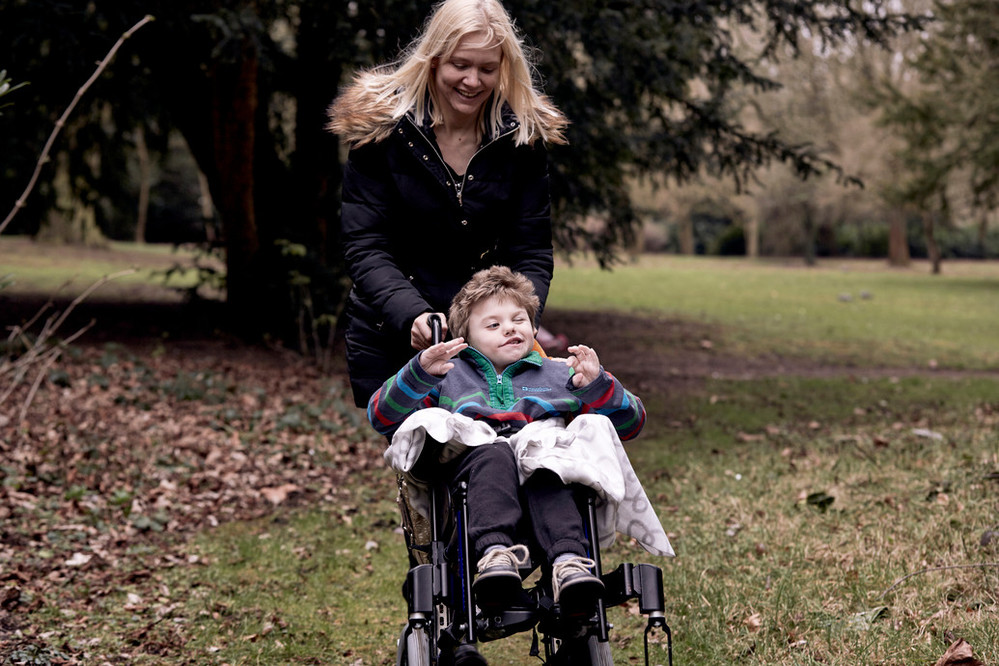
Sensory Walks enable people with complex disabilities to explore the outdoors and engage more meaningfully with nature. Each of the OS Maps app routes come with accessibility information including key milestones, and sensory highlights that are suitable for people with sensory impairments and complex disabilities.

The maps are available via the free OS Maps App using either your web browser or can be downloaded from the Apple App Store or Google Play.
Alissa Ayling, Head of Sport & Physical Activity at Sense, said: “We are thrilled to be partnering with Ordnance Survey in order to ensure the benefits of being outdoors can be enjoyed by everyone.
“We know that there are so many sensory experiences to be discovered when out on a walk, and by partnering with Ordnance Survey we can embed these elements into maps across the country. For people with complex disabilities, sensory walks provide an opportunity to engage with the outdoors in ways that are innovative and meaningful, at the same time as supporting people to be active.”

Laura Bailey, Partnerships Manager at Ordnance Survey Consumer, said: “Ordnance Survey are very excited to be working with Sense on their Sensory Walks. Our vision is to help more people get outside more often and we remain committed to opening up the wonders of the outdoors to more people.
“Working with Sense we will be able to provide more accessible opportunities for people to enjoy the outdoors bringing in Sensory Walk routes to the OS Maps app.”
You can now discover Sensory Walk routes local to you. To find a walk or to download the OS Maps App, click here.


